

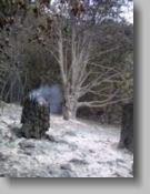
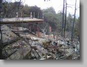
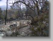
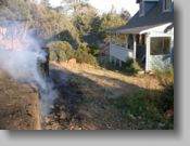
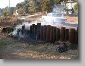
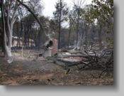
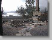
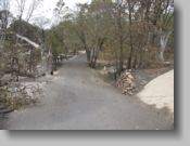
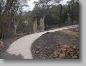

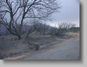
15574
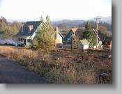
15515
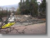
34423
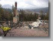
34419
| Cedar Fire Gallery | |||||
| IN AND AROUND THE HILLS ABOVE LAKE CUYAMACA | |||||
 |
 |
 |
 |
||
 |
 |
 |
 |
||
 |
 |
 |
 |
||
 |
 |
 |
 |
||
 |
 |
 |
 |
||
 |
 |
 |
 |
||
 |
 |
 |
 |
||
 |
 |
 |
 |
||
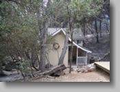
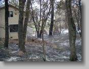
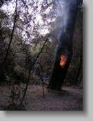
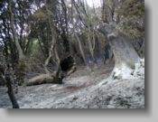
| These images do not represent the total percentage of houses that are still standing or were burned. Some structures still standing we actually took the address of in our partial survey are included in the short list. | |||||
| North Park Rd
15574 |
Engineers Rd
34423 |
||||
| I wish we had time to conduct a complete list, but we had too much to do. If there is tremendous interest, I will go up again strictly for winshield survey mapping. | |||||
| These images are optimized for reasonably quick downloads. I have them in larger format(1200x1600). Let me know if you need the larger format. If you use any of these images, I ask any profits be returned to the recovery efforts of the lake and surrounding community. | |||||
| HOME - GALLERY - CONTACT - - | |||||